الفن المعماري للاجهزة المساحية
GNSS.NET
Windows – VRS Management Software
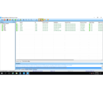
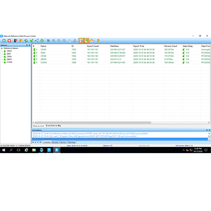
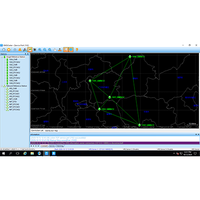
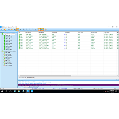
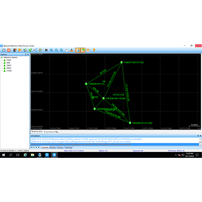
GNSS.NET is the software to combine multiple base stations as a network providing VRS service. It includes functions such as station management, user management, physical base station data transmission, VRS service, coordinate system transmission
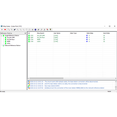
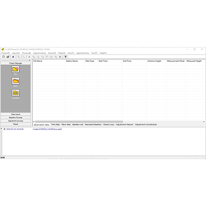
The system includes two parts “GNSS.NET Reference Data Process Center” and “GNSSCaster”. The first part software is used to manage reference stations and connect all stations as a network to provide VRS service. The second part software is used to create mountpoints and manage user account.
|
GNSS.NET Reference Data
Process Center |
|
|
Reference
Station Management |
|
|
Communication |
Serial port, TCP server, TCP client, Ntrip
client |
|
Station Coordinate |
Manual input |
|
Station Coordinate Type |
Geocentric coordinate, Geodetic
coordinate |
|
Export Stations |
KML, DAT |
|
Export Configuration |
Support |
|
Station Number |
At least 5 stations, depend on the
subscription |
|
|
|
|
System
Setting |
|
|
Virtual Reference Station |
Support |
|
Nearest Reference Station |
Support |
|
Recording Observation |
Support |
|
|
|
|
Network
Configuration Parameter |
|
|
Supported Parameters |
Maximum distance between stations Minimum distance between stations Range of physical base station Virtual base station network expansion
distance |
|
|
|
|
Data
Format |
|
|
Supported Constellation |
GPS, BDS, GLONASS, Galileo |
|
Supported Formats |
CMR, RTCM2, RTCM23, RTCM31, RTCM32
MSM4 |
|
Broad Ephemeris |
Support |
|
Precise Ephemeris |
Support |
|
|
|
|
Station
View |
|
|
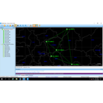
Station Satellite Map |
Support |
|
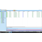
View Stations in List |
Support |
|
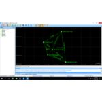
View Stations in Map |
Support Support measuring distance |
|
|
|
|
GNSSCaster |
|
|
GNSSCaster
Function |
|
|
User Number |
No limitation |
|
User Authentication |
Support |
|
GGA Track Log |
Support |
|
Coordinate System over RTCM |
RTCM1021~1027 |
|
Coordinate System Parameter |
Ellipsoid parameter Projection parameter Seven parameters Geoid parameters |
|
|
|


