UCS
Intelligent Compaction System
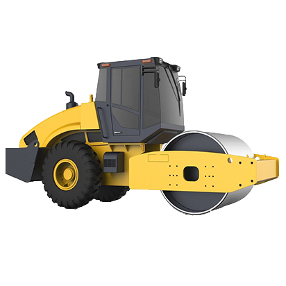
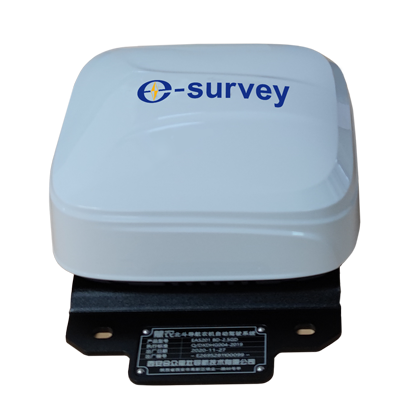
With the help of high-precision GNSS positioning technology and sensor technology, GNSS intelligent compaction system (UCS) can display and record the physical parameters such as construction route, traveling speed, compaction intensity, vibration frequency, road temperature, etc. required by the construction specifications in real time, digitally and graphically, and ensure the expected construction index by real-time and effective construction through the number of rolling times and sensor numerical guidance machine.
- Real time show compaction condition
Real time show the whole working area compaction condition: compaction pass count、filling thickness、running speed、compaction density, help improve the compaction quality.
- Real time show compaction track and the quality
Real time show the compaction track and the quality of compaction , efficiently avoid the over compaction and lack of compaction, optimize the compaction work, decrease cost.
- High work efficiency
Real time position the compaction weak spot, precisely guide the operator to do the mending work on specific area, guarantee the test reliability , enhance the test efficiency
- Digitalization of construction data .
Generate the report to reflect the compaction condition, such as compaction density scattergram、relativity validation report and required other reports, digitalize the construction file.
- Information sharing in the whole process
Real time send back the whole process compaction data to project owner、superviser、contractor, improve the management.


