

-
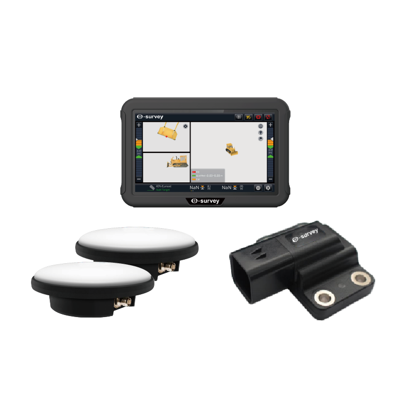
eMB10
3D GNSS GUIDANCE SYSTEM FOR BULLDOZERS
The eMB10 integrates multi-constellation precision positioning, sensor fusion, and real-time 3D guidance for bulldozer blade guidance or control. Using 3D data as a reference, the system rapidly meets design specs without traditional surveying. The system enables round-the-clock operation by any operator, hence ensuring speedy and accurate task completion, reducing rework, and enhancing productivity and project profits.
-
eMC10
3D GNSS CRANE GUIDANCE SYSTEM
The eSurvey eMC10 Crane Intelligence System integrates multi-constellation precise positioning with real-time 3D guidance via sensor fusion, accurately tracking the crane hook’s coordinates in real time. Using coordinate files as design blueprints, it swiftly meets design specifications, bypassing conventional surveying. It allows the operator to complete tasks quickly and precisely, reduces rework, increases productivity, and raises project profitability.
-
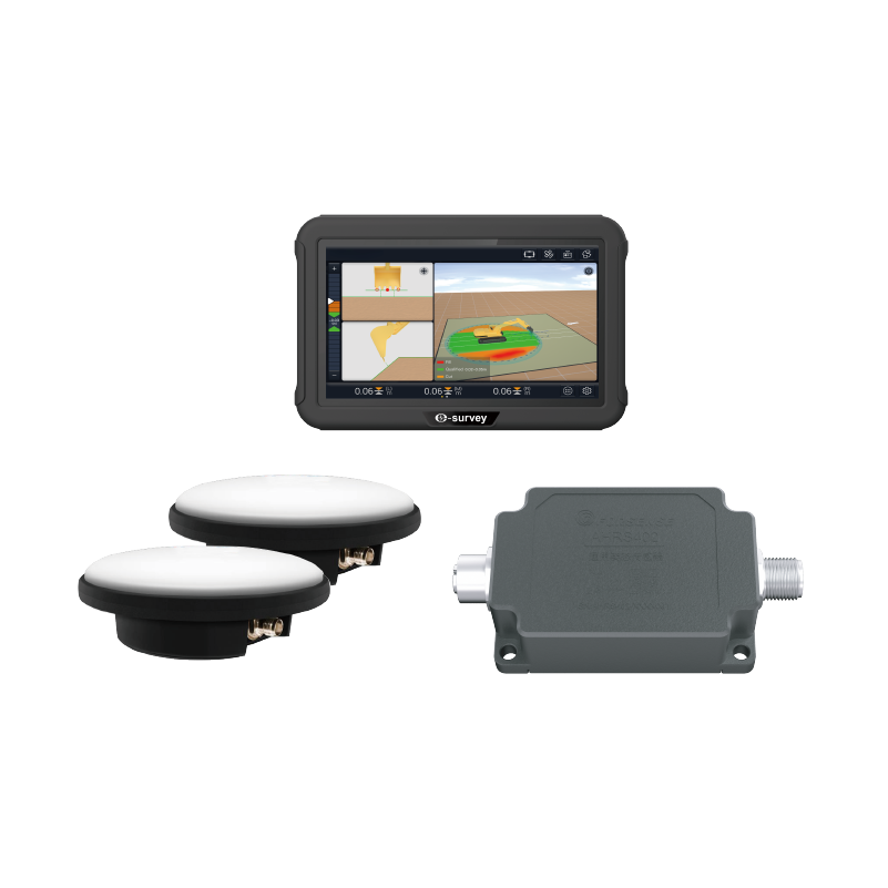
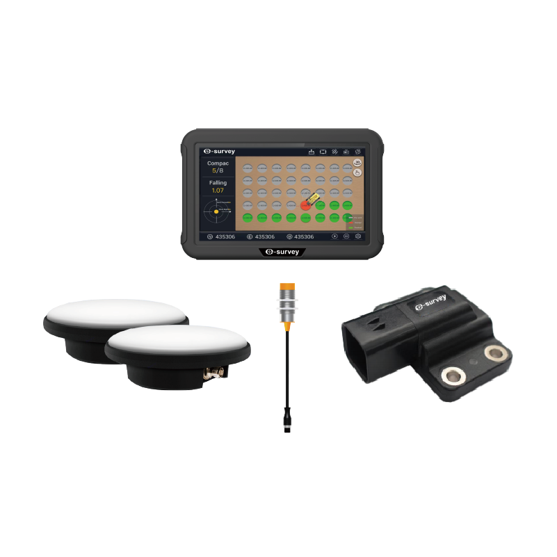
eME10
3D GNSS EXCAVATOR GUIDANCE SYSTEM
The eSurvey eME10 is designed with high accuracy in mind and consumes less time by guiding excavator operations. It employs GNSS real-time dynamic positioning technology to obtain the bucket’s real-time and accurate 3D position information by reading multiple tilt sensors installed on the excavator. The eME10 features intuitive, easy-to-learn software that runs on the Android operating system. The state-of-the-art hardware and software help operators of all skill levels work faster and more efficiently than before, particularly in complicated environments. To summarize, you can accomplish more in less time.
-
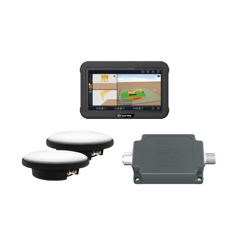
eME30
3D GNSS EXCAVATOR GUIDANCE SYSTEM
The eSurvey eME30 is designed with high accuracy and consumes less time by guiding excavator operations. It employs GNSS RTK technology to obtain the bucket’s real-time and accurate 3D position information by reading multiple tilt sensors installed on the excavator. The eME30 features intuitive, easy-to-learn software that runs on the Android operating system. The state-of-the-art hardware and software help operators of all skill levels work faster and more efficiently than ever, especially in complex environments. To sum up, you can accomplish more in less time.
-
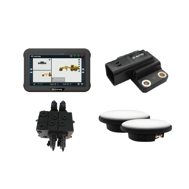
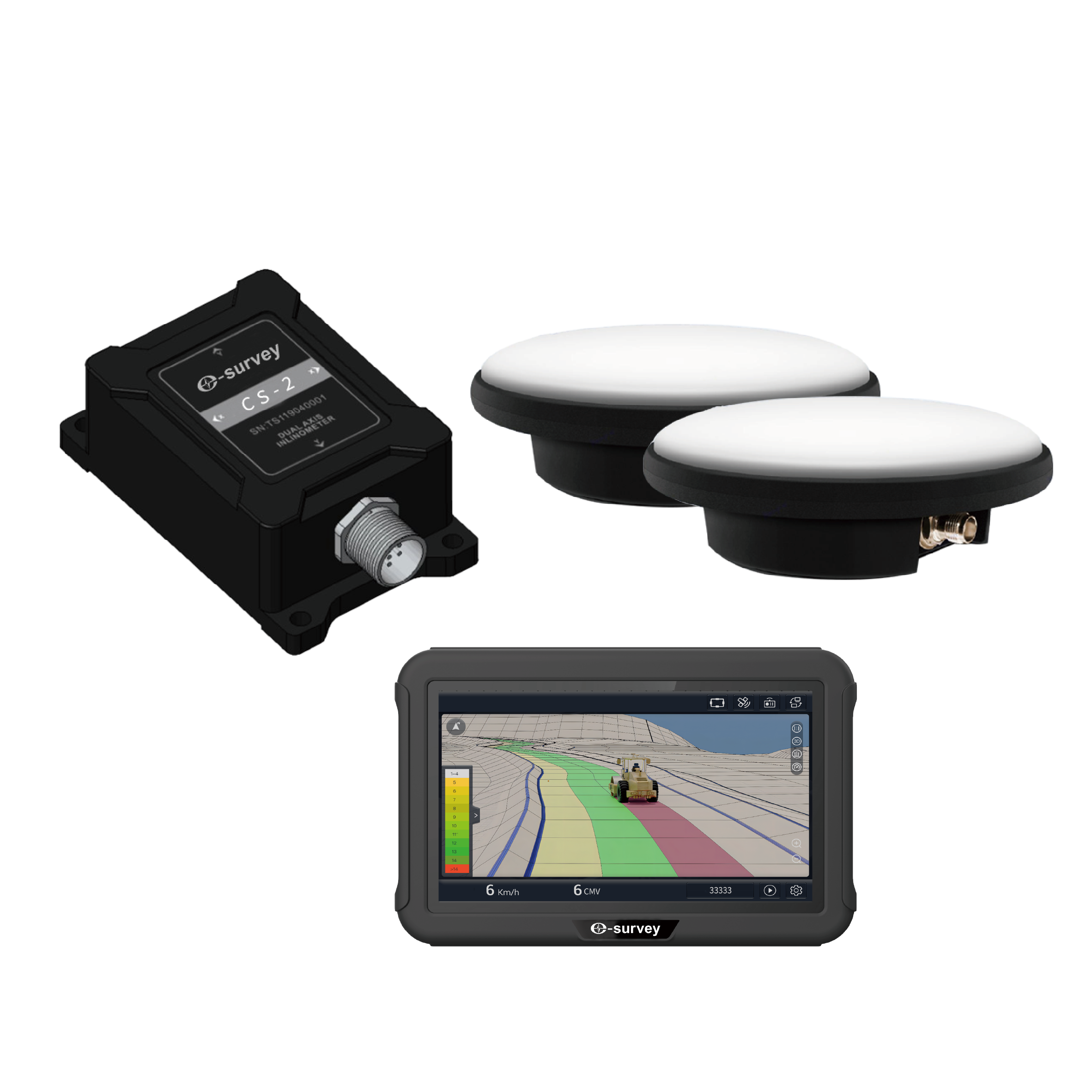
eMG30
3D AUTOMATIC CONTROL SYSTEM FOR MOTOR GRADERS
The eMG30 system improve the construction quality and efficiency of earth moving engineering. The system adopts GNSS RTK high-precision positioning technology, IMU, and hydraulic control technology to calculate the three-dimensional coordinates of the grader blade in real time. And, according to the three-dimensional design drawings on the vehicle tablet, the blade attitude is controlled in real time, with absolute elevation accuracy of centimeters.
-
eMP10
INTELLIGENT PILING GUIDANCE SYSTEM
The eMP10 system adopts multi-satellite system high-precision real-time positioning and orientation, as well as multi-sensor fusion technology, to obtain accurate three-dimensional position information of the pile head; Collect real-time data from sensors installed on the pile foundation, such as current sensors and grout volume sensors; Able to capture digital and image files to assist the machine operators in precise construction.
-
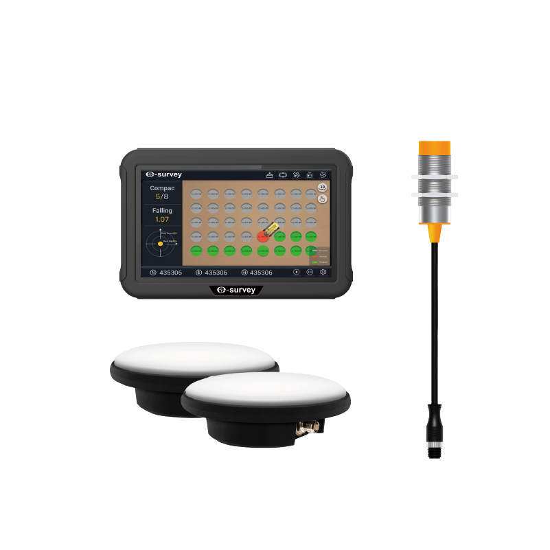
eMR10
GNSS INTELLIGENT ROAD ROLLER SYSTEM
The eSurvey eMR10 intelligent road roller compaction system adopts high-precision Beidou positioning, compaction sensor and temperature sensor technology. The eMR10 digitally and graphically displays and records the construction process data in real time, collects and monitors the speed and trajectory of vehicle travel, compaction value, vibration status, milling temperature and other key parameters. The data is transmitted back to the synchronized digital construction management platform in real time to generate customized reports, ensuring the construction quality of rolling. The eMR10 is widely used for earth and stone layered filling, subgrade, and surface grinding on a variety of projects, including railroads, highways, dams, and harbors.