
-
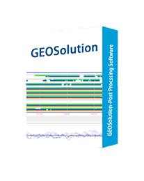
GEOSolution
SIMPLE & INDISPENSABLE POST PROCESSING SOFTWARE
Simple and powerful post-processing software, owning many preset coordinate systems and advanced data processing algorithms to process static data and obtain reliable results quickly.
-
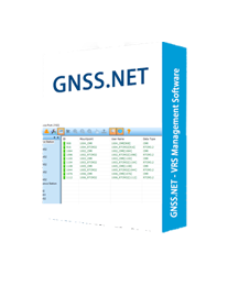
GNSS.NET
WINDOWS – VRS MANAGEMENT SOFTWARE
GNSS.NET is the software to combine multiple base stations as a network providing VRS service. It includes functions such as station management, user management, physical base station data transmission, VRS service, coordinate system transmission…
-
Surpad4.2
ANDROID – FIELD DATA COLLECTION SOFTWARE
Powerful Functions Enjoy the powerful functions, including tilt survey, CAD, line stakeout, road stakeout, GIS data collection, COGO calculation, QR code scanning, FTP transmission, etc. Abundant Formats for Importing and Exporting Directly import and export files with frequently used formats and customized formats. Easy-to-use UI Freely choose the desired display style, including list, grid, and customized style, and enjoy easy operations with graphic interaction, including COGO calculation, QR code scanning, FTP transmission, etc. Advanced Display of Base Maps Supports the import of different formats of base maps including, but not limited to AutoCAD formats (DXF, DWG), SHP and Land XML, which provides a more user-friendly experience during fieldwork. Compatible with Any Android Devices Use it on all Android devices (Android 7.0 and above), including eSurvey handhelds, Android phones, tablets, and other third-party Android devices. Powerful CAD Function